Overview
- What: Byzantine-era rock-cut churches and monastery remnants carved into soft tuff stone in the southeastern part of Cappadocia.
- Where: Near the village of Soğanlı, within the Yeşilhisar district of Kayseri, situated between the settlements of Aşağı Soğanlı (Lower Soğanlı) and Yukarı Soğanlı (Upper Soğanlı).
- Why it matters: A rare open-air museum housing approximately one hundred churches, inhabited by Byzantine monks between the 9th and 13th centuries.
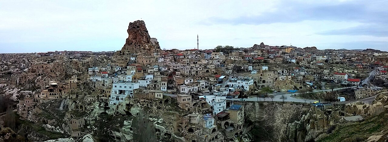
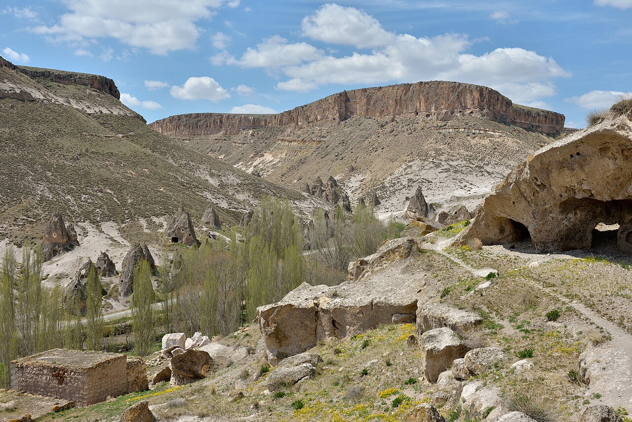
When one mentions Cappadocia, Göreme or Uçhisar are often the first places that come to mind. However, in the southeastern part of the region, there is another valley that remains quieter and less explored. Soğanlı Valley is located within the boundaries of the Yeşilhisar district of Kayseri. This valley draws attention with its structures carved into the typical soft tuff rocks of Cappadocia.
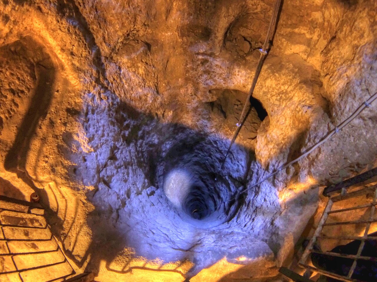
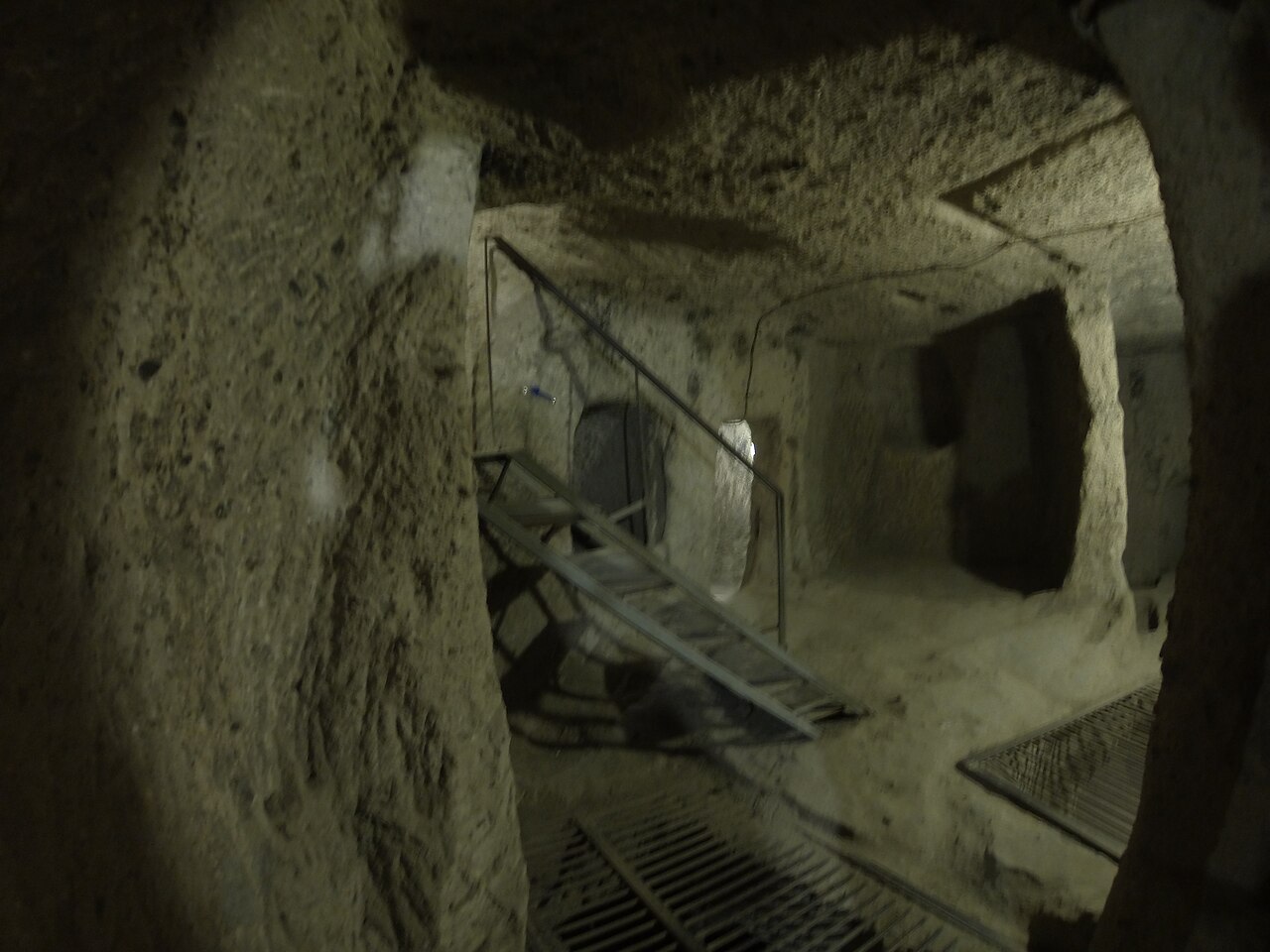
The history of the valley extends deep into the past. Sources indicate that it was inhabited by Byzantine monks from the 9th to the 13th century. This long period of settlement resulted in the excavation of countless churches, chapels, and monastery rooms into the rocks of the valley. The structures that still stand today shed light on the religious life and architectural understanding of that era.
Compared to other valleys in Cappadocia, Soğanlı attracts fewer tourists. This situation helps preserve the valley’s tranquility. Visitors can examine the historical structures in an atmosphere far from crowds and deeply connected with nature. The valley is an ideal stop for both history enthusiasts and those who prefer slow travel.
Where is it?
Geographically, Soğanlı Valley is located in the Yeşilhisar district of Kayseri province. It is 84 kilometers from the provincial center of Kayseri and 17 kilometers from the district center of Yeşilhisar [1]. The valley is situated at the southeastern end of the Cappadocia region [2]. This location has kept the valley somewhat removed from the main tourist axis of Cappadocia.
The settlement structure of the valley is shaped around two main villages. Aşağı Soğanlı village is located at the southeastern end of the valley. Yukarı Soğanlı village is situated at the point where the valley branches into its northern and southern arms [2]. The valley stretching between these two settlements forms the main axis where historical structures are concentrated.
The valley is also surrounded by other natural and cultural elements. Soğanlı neighborhood shares a border with the neighboring Güzelöz neighborhood [1]. Additionally, a tourist canyon that ends 1–2 kilometers before reaching Güzelöz neighborhood is located in this area [1]. This canyon may offer an additional nature walking option for those visiting the valley.
In terms of accessibility, the valley is somewhat distant from the center of Cappadocia. An English-language source notes that there is no public transport (dolmuş) connection to the valley due to its distance from the center of the Cappadocia region [2]. This is cited as one of the main reasons for the valley’s low visitor numbers. Visitors generally need to arrive by private vehicle or organized tour.
History & Origins
The history of Soğanlı Valley is synonymous with the Byzantine period. Sources state that the valley was inhabited by Byzantine monks from the 9th to the 13th century [2]. During this period, monks carved approximately one hundred churches into the soft tuff rocks of the valley. Rock houses and monastery courtyards attached to these churches were also constructed [2].
The Soğanlı neighborhood, of Turkmen origin, was formerly part of the Kale neighborhood. It separated from there in 1935 to become an independent village [1]. According to Turkmen sources, Byzantines fled to this region in the 6th and 7th centuries to escape Roman oppression. Due to their fears, they constructed caves and rock-cut churches [1].
Between 1200 and 1300 AD, the village was taken from the Byzantines and turned into a Turkish neighborhood [1]. This transition changed the demographic structure of the valley. During the Christian period, grape trade and winemaking developed in the region. The village contains many carved wine rooms dating back to the 6th and 7th centuries [1].
It is believed that there are 15 churches that can be visited today and approximately 50 lost churches [1]. An English-language source, however, states that the number of churches in the valley is approximately one hundred [2]. This discrepancy in numbers may be based on different findings or counting methods from various periods. Most of the structures are today buried, in ruins, or used as stables [2].
Architectural Form
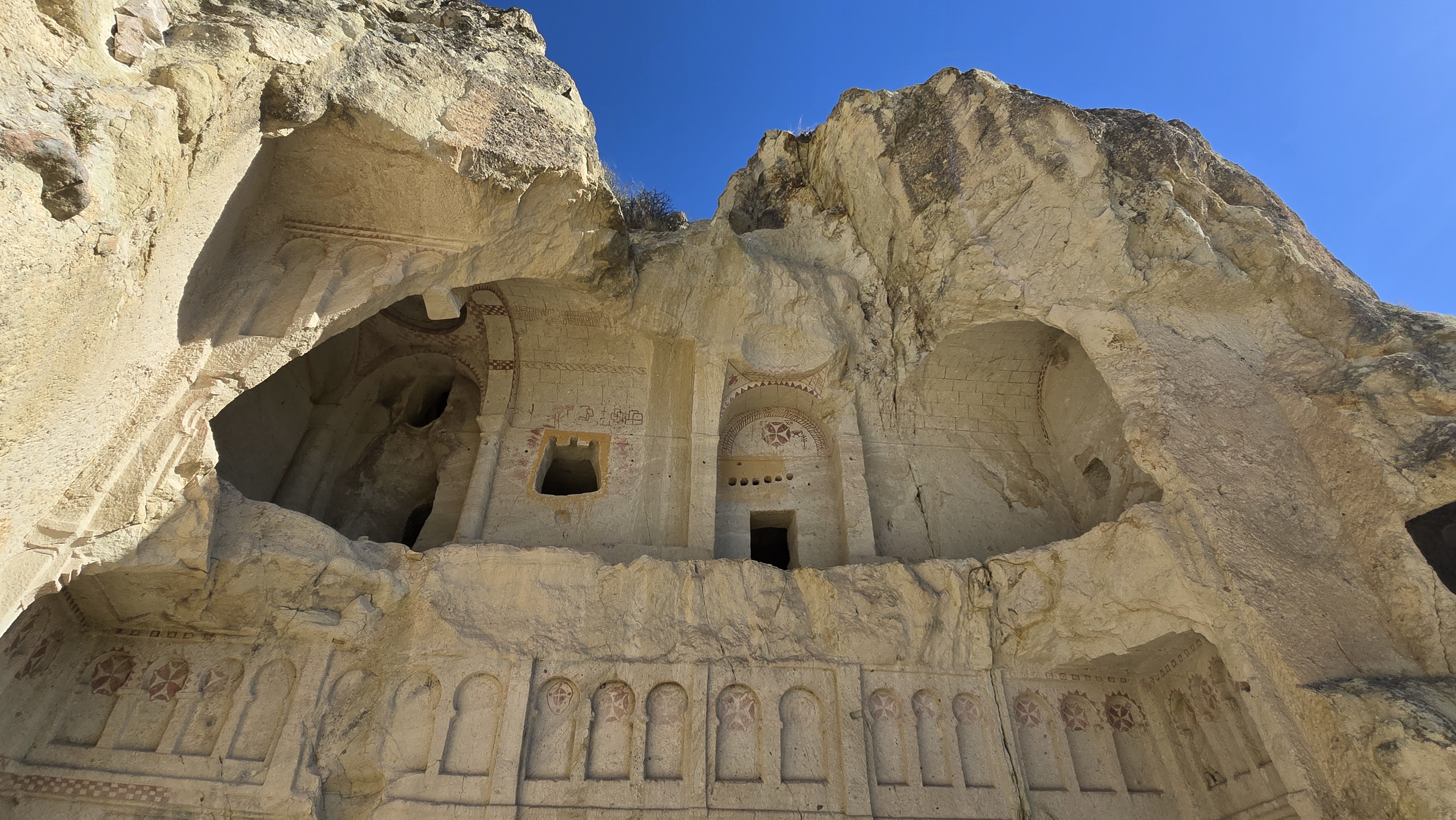
The structures in Soğanlı Valley are carved into the characteristic soft tuff stone of Cappadocia. This material allows for easy working of the stone. The churches generally have single-nave or side-nave plan types. Some structures are decorated in a way that gives the impression of an independent church from the outside.
One of the most striking structures in the valley is the Domed Church. This church is a domed church dating to the 10th century. The term “Domed” refers, in architectural terms, to a dome; that is, a round and usually high structure located in the center of a roof or floor. It is placed within a single fairy chimney along with its side rooms [2]. “Fairy chimney” is an architectural term; here, it refers to a structure with a central dome, usually opening to the outside. The exterior facade of the chimney is decorated with imitation brick blocks and female cornices. This decoration was intended to make the structure appear like an independent church [2].
The Karabaş Church is located in the northern arm of the valley. It is known by its old name as the Church of Saint Catherine. Its nave (the main space of the church) has a barrel-vaulted plan [2]. The term “barrel vault” is an architectural description; here, it refers to a long, sloping ceiling structure like a cylinder. The inscription above the west door of the church belongs to the Byzantine general Michael Skepides. “Inscription” is an architectural term; here, it means writings or symbols carved into the walls. The inscription indicates that the last layer of frescoes was made in the 13th century. Frescoes are paintings made with water-mixed paint on a wall or ceiling; they are commonly found in ancient structures [2]. The frescoes depict scenes from the life of Jesus on a black background [2].
The Snake Church is another important structure in the northern valley. It is known by its old name as the Church of the Virgin Mary. The side building of this barrel-vaulted church contains two arcosolium tombs carved into the rock [2]. The frescoes, covered in black paint, are heavily damaged. The structures near the Karabaş Church suggest that this church was the center of a monastery [2].
The Tahtalı Church is located in the southern valley. It is also known as the Church of Saint Barbara. This barrel-vaulted church is arranged with a hall and a side chapel around a courtyard [2]. A barely legible inscription indicates that the structure dates to 1006 or 1021 AD. The frescoes include scenes from the New Testament and the only depiction of the Seven Sleepers in Cappadocia [2]. “Seven Sleepers” refers to a story in Christianity; here, seven people survived by sleeping for many years. This story is well-known in Cappadocia.
The Tokalı Church is located at the point before entering the valley from Aşağı Soğanlı. It is situated on a high cliff and is reached by a steep staircase of more than 50 steps [2]. “Steep staircase” physically means a very inclined staircase that requires difficult climbing. Tombs are found on the wall in front of the church. The interior has a nave with two side naves, but the frescoes are completely destroyed [2].
The Geyikli Church takes its name from the depictions of Saint Eustace (St. Eustathius) in its frescoes [2]. “Saint Eustace” is a holy name in Christianity; here, it is the figure that gives the church its name. Other structures in the valley include the Blue Church, the Old Silver Monastery, and the Soğanlı Han Complex [2].
Visiting Notes
Soğanlı Valley is less crowded than other popular spots in Cappadocia. This offers visitors a calmer experience. The valley functions as an open-air museum, and the structures can be freely explored within nature.
Private vehicle is the most practical option for transportation. The valley is far from the center of Cappadocia and has no public transport connection [2]. Its distance of 84 km from Kayseri and 17 km from Yeşilhisar should be considered when planning a visit [1].
There is no definitive information in the sources regarding visiting hours and entrance fees. Therefore, it is recommended to obtain current information from official sources or local tourism offices before visiting. Additionally, consider that access to the interiors of some structures may be restricted or that damaged areas may be closed off.
Comfortable shoes are recommended for walking within the valley. Steep staircases or uneven paths may need to be used to reach some churches. In particular, the staircase leading to the Tokalı Church is quite steep [2].
For nature walking enthusiasts, the canyon right next to the valley is also an option. This canyon extends to the Güzelöz neighborhood [1]. However, a separate plan may be required for the entire canyon.
Soğanlı Valley is a destination suitable for the concept of slow travel. Instead of a quick tour, you can have the opportunity to examine the architectural details and frescoes of each church.
References
- [1] “Soğanlı, Yeşilhisar - Vikipedi”, https://tr.wikipedia.org/wiki/So%C4%9Fanl%C4%B1,_Ye%C5%9Filhisar
- [2] “Soğanlı Valley - Wikipedia”, https://en.wikipedia.org/wiki/So%C4%9Fanl%C4%B1_Valley
- [3] “Burials in the Soğanlı Valley: The Life of the Monuments — H. Ceylan Karaca (2021, Journal of Turkish Studies)”, https://turkishstudies.net/files/turkishstudies/c27e6970-847c-4680-b76b-04679fd10273.pdf
- [4] “Building Complex No 2b in Zelve Open Air Museum — Derya GÜNERİ (2021, Journal of Turkish Studies)”, https://turkishstudies.net/files/turkishstudies/0e1d2832-6f5f-4832-a85b-6da5f2983336.pdf
Konum
Harita: © OpenStreetMap katkıcıları. Haritada büyüt · Google Haritalar · Apple Haritalar
İşaret yaklaşık konumu gösterir; kesin konum için yerel kaynaklara bakın.
This article is compiled from scholarly monographs and official architectural inventories. Please verify site access conditions, visiting hours, and ongoing conservation status via official heritage authorities prior to visiting.